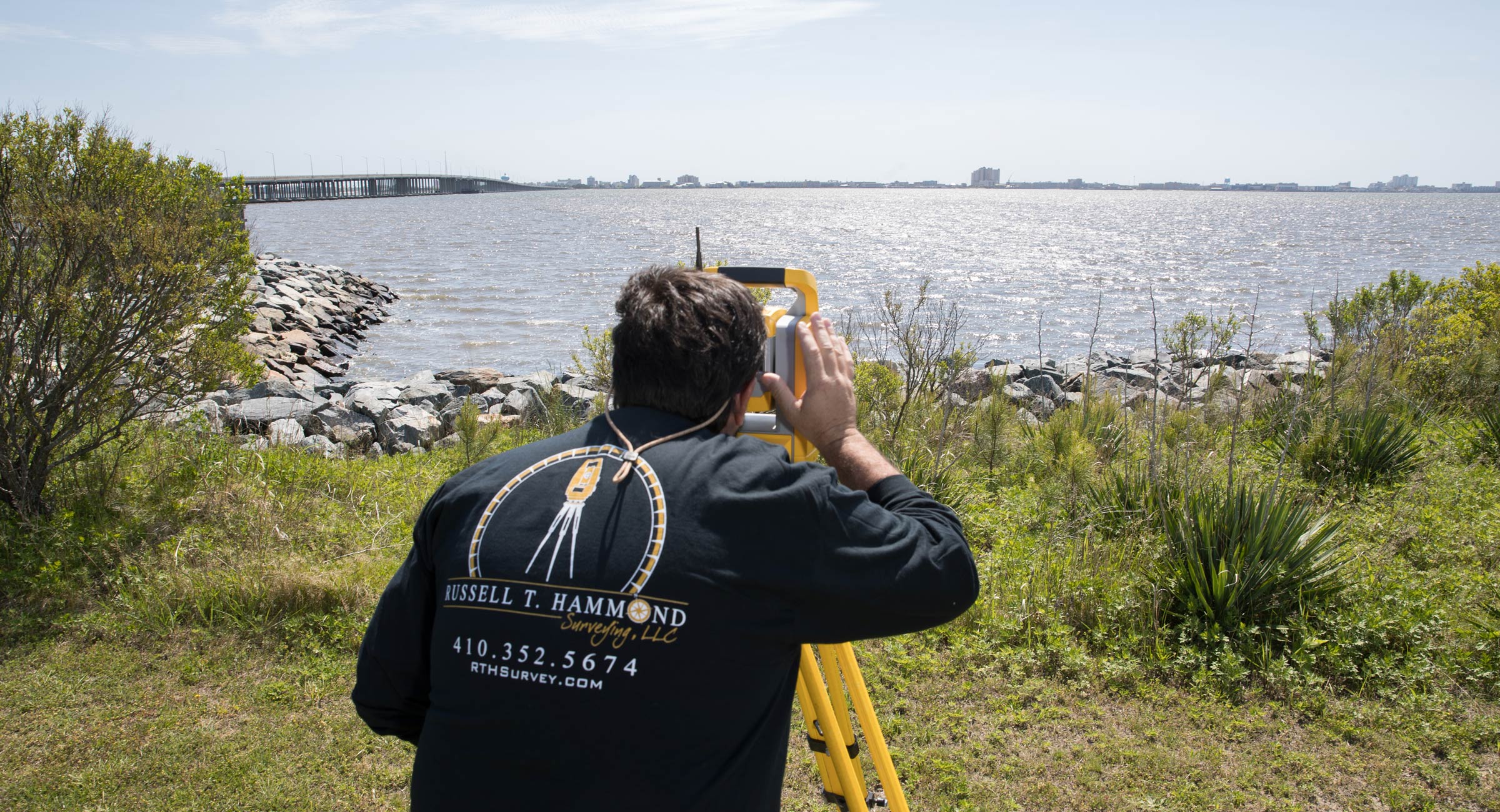
We have worked with a wide scope of projects, scaling from commercial to residential. Each project is customized to the client and its scope, length, depth, and cost are unique. Here is a list of some of the most common services requested from us.
Survey for the express purpose of locating the exact boundaries and corners of a given parcel of land. This survey requires deed research, field recon, field measurements and office computations.
Layout for the field control for use in the construction of road, buildings and subdivision infrastructure.
An official form of the National Flood Insurance Program, it compares a property's elevation data to the base flood elevation data. It provides information necessary to ensure compliance with FEMA regulations.
A survey locating features, natural and manmade, such as elevations, contours of the land, streams, ditches, buildings and other improvements. A combination of boundary and topographic surveying is used in the design and development of subdivisions and commercial parcels.
Any time land is to be divided from another property a subdivision plat must be prepared, approved and recorded within the land records of the appropriate county.
Surveys locating newly constructed foundations, final construction or under construction improvements and are usually required by government agencies and lending institutions.
A plan used to obtain a building permit showing what is to be constructed. This survey will show all proposed construction such as dwellings, additions, sheds and fences.
Purpose of a Location Drawing is to locate, describe and represent the positions of buildings and other improvements. It does not provide for the accurate identification of property lines; however, such may not be required for the transfer of title or securing of financing.
Be sure to check the frequently asked questions that land surveyors hear. Have a specific question? Contact us more for additional information.
Licensed in Maryland & Delaware. Specializing in Worcester County, MD & Sussex County, DE
Maryland License #21329 • Delaware License #S6-0000781
